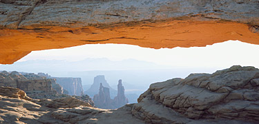
National Park Trails
For Trail Maps of Many National Parks see the links to the left. The NPS.GOV site has many maps for National Parks.
My Favorite Maps of National Parks are the National Geographic Maps : Trails Illustrated
I take these maps backpacking, mountain biking or for finding (legal) unpaved roads to use with your 4X4 or ATV. They are very detailed topos and are plastic so they can handle the rain and wear & tear. I would highly recommend these maps to anyone. They cost on average $10 to $15 dollars each but with then you shouldn't get lost. See below link.
National Geographic Map Store
Good site for do-it-yourselfers. TopoQuest.com you can find for free topomaps of the entire United States. Find a Topo then zoom in and click on a spot and it gives the Lat and Long of that spot. I use this with my GPS to find great unpaved roads in National Forests and State Lands. It is not so user friendly but it is great to program GPS coordinates into your GPS and then go out and find the spot with your ATV, Mountain Bike or 4X4.
Good ATV Trail Sites ( I will be adding more )
ATVTrails.org
Paiute ATV Trail System
